About LUD Surveys and Planning Inc
Empowering Communities Through Precision, Planning, and Progress
Founded as a reputable South African enterprise based in KwaZulu-Natal, the company specializes in delivering top-tier land surveying and town planning services throughout South Africa and beyond.
Our services are underpinned by a team of highly skilled, qualified, and registered Professional Land Surveyors, ensuring the highest standards of precision and professionalism in every project we undertake.
With a diverse and extensive portfolio of clients across various sectors, we pride ourselves on providing bespoke solutions to meet the unique needs of each organization.
Our clientele includes government entities, private sector companies, developers, as well as non-profit and advisory organizations.

Our Promise
Experience the difference where expertise meets innovation
Meet Our Team

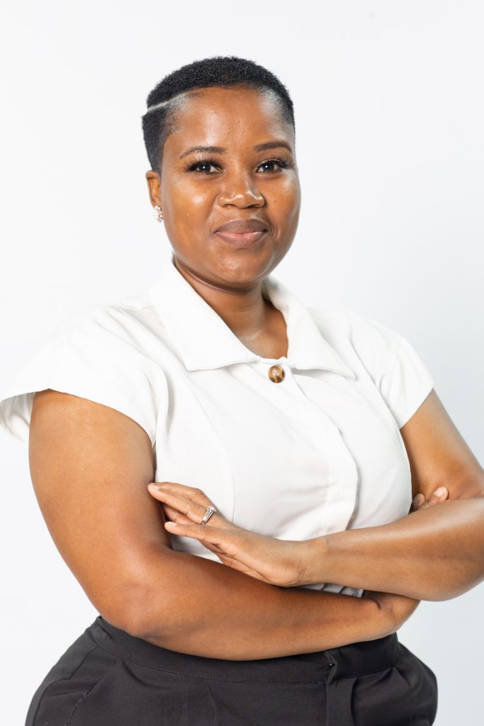
Nelisiwe Dlamini, GPrLS1320
Director & Professional Land Surveyor | LUD Surveys and Planning Inc.
Nelisiwe Dlamini is a registered Professional Land Surveyor (GPrLS1320) with over 11 years of experience in cadastral, engineering, and town planning surveys. She is the founder and director of LUD Surveys and Planning Inc. Nelisiwe leads her company in delivering expert land surveying and geospatial planning services across South Africa.
A graduate of the University of Natal with a BSc (Hons) in Land Surveying and a Postgraduate Diploma in Management, Nelisiwe further strengthened her business acumen through a SETA-accredited certificate in New Venture Creation (SMME). Her technical career began in the public sector, where she spent nine years at the Surveyor General’s office in Pietermaritzburg. During this time, she managed high-impact projects including the One Household One Hectare initiative and provided expert oversight on cadastral and sectional title surveys.
Nelisiwe brings a blend of public service rigor and private sector innovation to her work. Under her leadership, LUD Surveys and Planning has implemented projects for public departments, municipalities, and private developers, utilizing modern geospatial technologies like LiDAR and drone surveys. She is deeply committed to empowering women and youth in the geomatics field and advancing sustainable, inclusive land development practices