Our Services
Precision, Innovation, and Solutions You Can Build On
At LUD Surveys and Planning Inc., we offer a full spectrum of land surveying and town planning services designed to support sustainable development, unlock property potential, and empower communities.
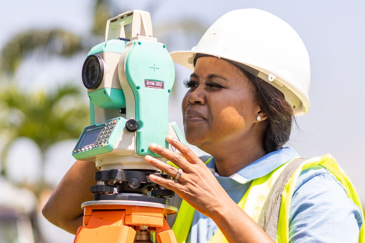
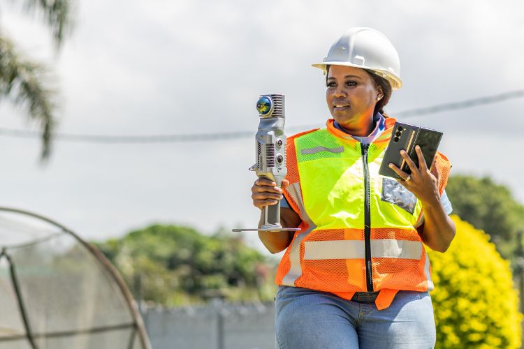
Our team combines traditional expertise with the latest technologies — including Mobile LiDAR, Drone Surveys, and advanced CAD systems — to deliver solutions that are accurate, efficient, and tailored to the needs of every client.
We proudly serve private developers, public entities, municipalities, and individuals across KwaZulu-Natal and South Africa. Whether you are subdividing land, establishing new townships, resolving boundary disputes, or navigating complex planning applications, our services are built on a foundation of excellence, integrity, and innovation.
From Cadastral and Engineering Surveys to Sectional Titles and Town Planning Applications, we approach each project with precision, a deep understanding of regulatory requirements, and a commitment to delivering outcomes that drive growth and transformation.
At LUD Surveys and Planning Inc., we don’t just map the land — we help you shape the future.
- Property Subdivisions survey & diagrams.
- Property Consolidation diagrams.
- Lease survey & Diagrams.
- Servitudes survey& Diagrams
- New Township Creation & Drafting of General plan.
- Establishment of Property Boundaries.
- Resolution of boundary disputes
Town Planning Applications (Spluma)
- Development Application
- Rezoning Application
- Section 25 Certificates
- Agricultural Approval (Act 70 of 1970)
- DoT Approval


